No products in the cart
EFFICIENT AND INTELLIGENT AG DRONE SOLUTIONS
When used with the MG Intelligent Operation Planning System and the DJI Agriculture Management Platform, DJI ag drone users can plan operations, manage flights in real time and closely monitor aircraft operating status.
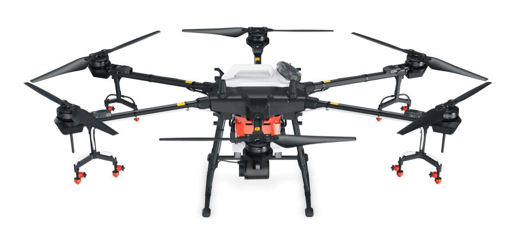
Agras T30
A New Flagship for Digital Agriculture
The Agras T30 takes UAS aerial spraying efficiency to new weights and measures. A revolutionary transforming “airframe” enables more effective spraying. The Agras T30 can be used for insects, fungus and weed control and broadcast seeding for a variety of crops. It comes with a 7.93 gallon (30 L) tank and can cover 40 acres per hour.
30 L Spray Tank
Spherical Radar System
IP67 Water and Dust Resistance
Dual FPV Cameras for Monitoring
High-Precision Operation
Smart Agriculture Cloud Platform
Agras T20
Intelligent and Powerful
With its powerful performance and outstanding spraying capabilities, the T20 can conduct autonomous operations over a variety of terrains. New features, like an omnidirectional digital radar, have helped the T20 take stability and flight safety to the next level, providing users with highly efficient results. The T20 can be used for insects, fungus and weed control and broadcast seeding for a variety of crops. It comes with a 5.28 gallon (20 L) tank and can cover 29.65 acres per hour.

- 20 L Spray Tank
- Autonomous High-Precision Operation
- IP67 Rating for Core Modules
- Omnidirectional Digital Radar
- Real-Time Visual Monitoring System
- AI Intelligent Agriculture Engine
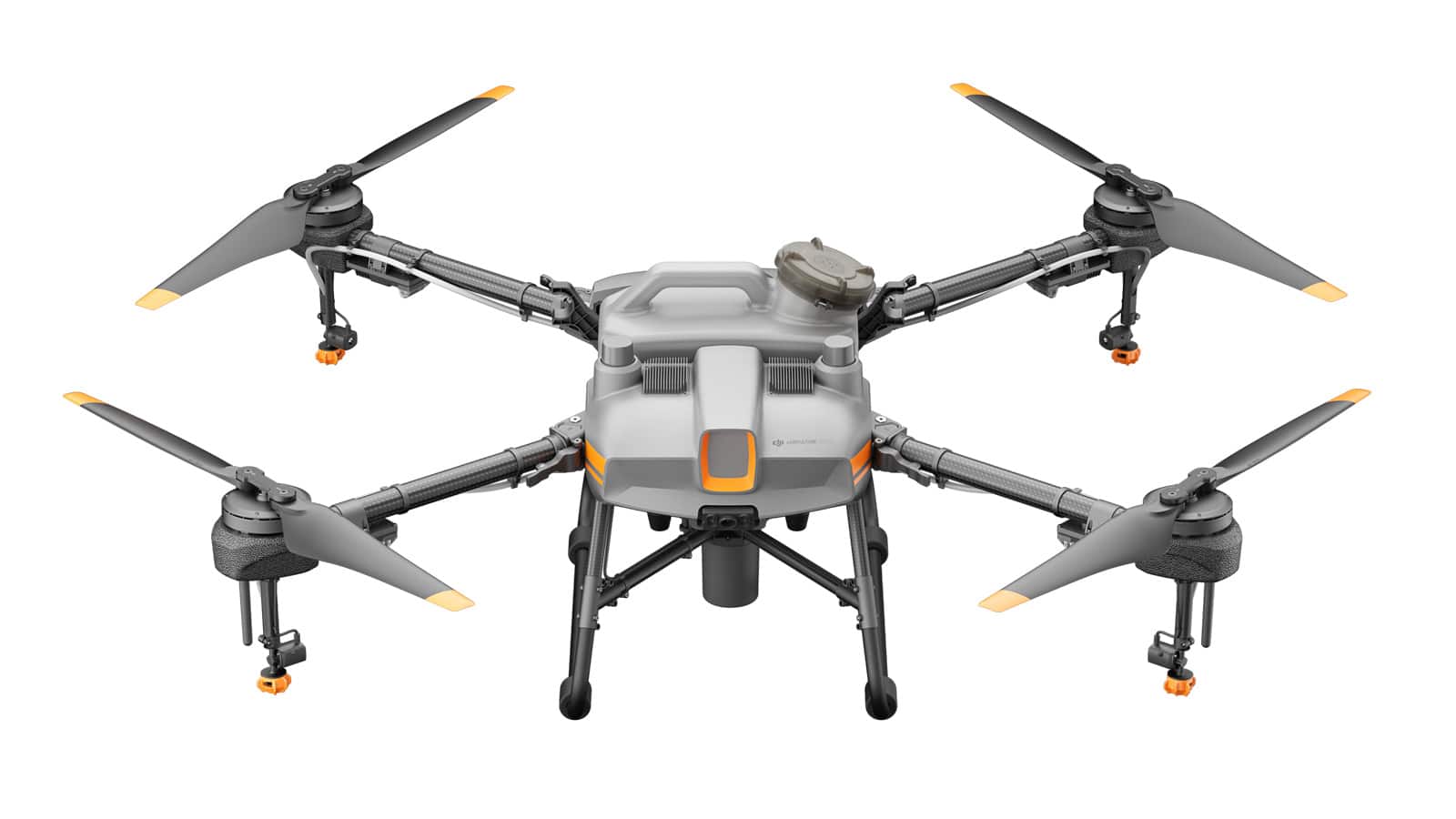
Agras T10
The Ideal Drone for Precision Applications
The Agras T10 brings a highly compact yet powerful aerial solution to agriculture sites of all sizes and needs. Its folding truss structure is sturdy and reliable, enabling efficient folding and unfolding, convenient transportation and easy transitions. The T10 can be used for insects, fungus and weed control and broadcast seeding for a variety of crops. It comes with a 2.11 gallon (8 L) tank and can cover 15.0 acres per hour.

- 8 L Spray Tank
- Spherical Radar System
- Overall IP67 Water Resistance
- Dual FPV Cameras for Monitoring
- High-Precision Operation
- Smart Agriculture Cloud Platform
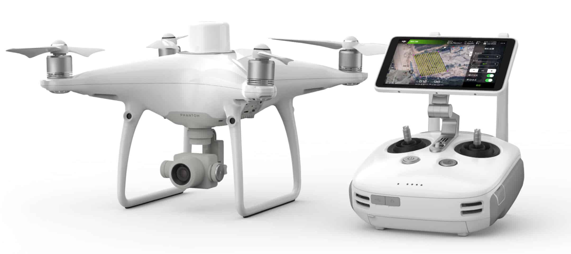
Phantom 4 RTK
Visionary Intelligence. Elevated Accuracy
Upgrade your next mapping mission with the Phantom 4 RTK — the most compact and accurate low-altitude mapping solution. Gather precise plant-level data with centimeter accuracy using a seamlessly integrated multispectral imaging system built for agriculture missions, environmental monitoring and more.

- Next-Generation Mapping
- Centimeter-Level Positioning System
- Gather Accurate Data with TimeSync
- Precise Imaging System
- Built for Surveyors
- OcuSync Transmission System
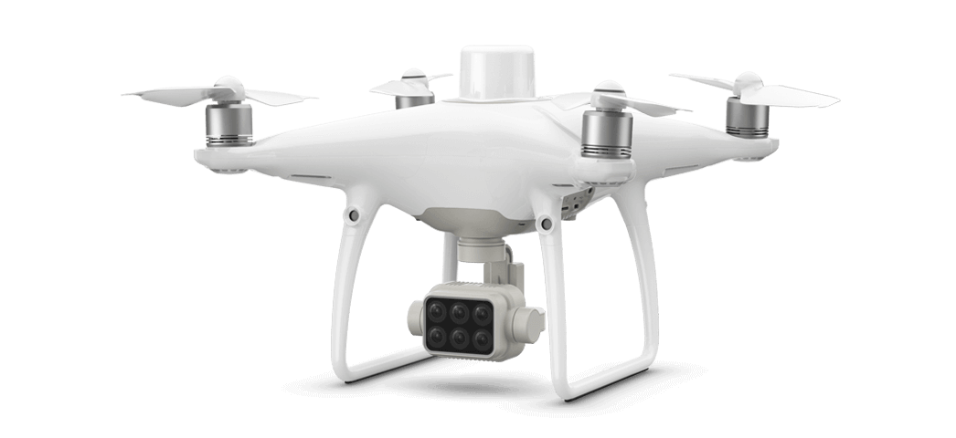
P4 Multispectral
Plant Intelligence for Targeted Action
Gather precise plant-level data using the P4 Multispectral — a high-precision drone with a seamlessly integrated multispectral imaging system built for agriculture missions, environmental monitoring and more.

- Multispectral Imaging System
- Live NDVI View
- RTK Module
- TimeSync